Kan Iran Projects

Four Decades of Designing, Executing, and Leading Comprehensive Exploration Projects at the National Scale
Kan Iran Consulting Engineers Co., with over 40 years of expertise in geosciences, mineral exploration, and technical consulting, is recognized as one of the most active and reputable private-sector companies in Iran’s mining industry.
The company has successfully executed over 500 applied geological and exploration projects across most provinces of the country. These projects span a wide range of mineral types, exploration scales, geographic areas, study methodologies, and data depths — from regional reconnaissance to final resource estimation and 3D modeling.
Their contribution has been vital in advancing technical knowledge, increasing proven reserves, and optimizing mining investments in Iran.
Comprehensive Scope of Services Delivered in Projects
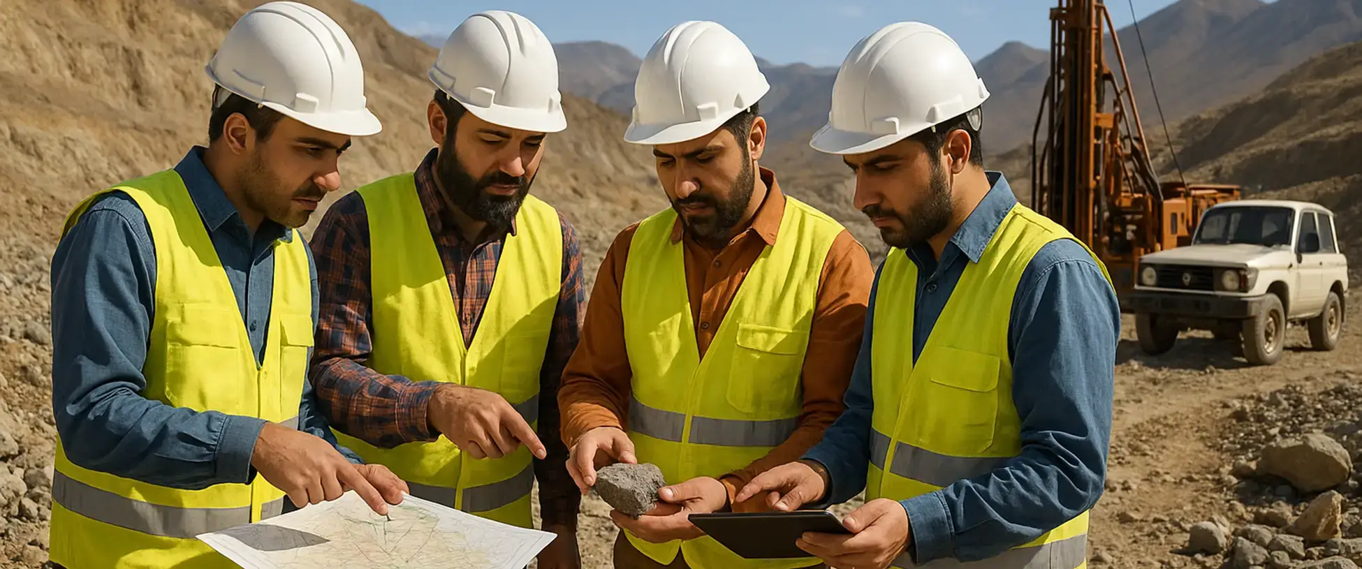
Kan Iran’s projects are designed and implemented based on scientific principles, continuous knowledge updates, and extensive field experience. The integrated structure of these projects typically includes:
- Reconnaissance and preliminary exploration at scales of 1:100,000 and 1:25,000 in promising regions
- General and detailed exploration at scales of 1:5,000, 1:2,000, and 1:1,000
- Planning and supervising over 100,000 meters of core drilling, including structural logging, core photography, geotechnical studies, and mineralogical analysis
- Executing dozens of geophysical surveys, including magnetometry, IP/RS, resistivity, and 3D electrical imaging (ERT)
- Managing and analyzing over 1 million laboratory samples (geochemistry, mineralogy, petrography, XRF, ICP, fire assay, metallurgy)
- Developing geological and grade models using international software such as Leapfrog, Datamine, Surpac, and ArcGIS
- Estimating reserves and preparing technical–economic reports in compliance with JORC, CRIRSCO, and national guidelines approved by regulatory authorities
Geographic Coverage and Geological Diversity
Over the past four decades, Kan Iran has had an active presence in most Iranian provinces, including South Khorasan, Zanjan, Kerman, Yazd, Fars, Markazi, East Azerbaijan, Golestan, Lorestan, Bushehr, Isfahan, Kohgiluyeh & Boyer-Ahmad, Sistan & Baluchestan, and more.
This geographic diversity enables the comparison of similar geological structures across regions and promotes the reuse of archived data in projects with overlapping tectonic and mineralization characteristics.
Revisiting Archives and Reinterpreting Previous Studies
One of Kan Iran’s core strengths lies in the reinterpretation of historical archives and legacy reports, both domestic and international.
By aligning these datasets with newly acquired field data, current scientific literature, and structural models, the company provides new insights and redefines drilling targets — leading to reduced costs, increased reliability, and higher chances of identifying concealed deposits in previously explored areas.
Key Discoveries and Flagship Projects in the Past Year
In just the last 12 months, Kan Iran has successfully identified, modeled, and estimated over 100 million tons of proven metallic reserves, including gold, copper, iron, and lead-zinc, in the following key regions:
- Emerging gold–copper deposit in South Bisheh, Eastern Iran – one of the country’s promising porphyry systems
- Hirad gold zone, with an integrated model combining drilling, trenching, and geochemical data
- Halab 4 area in Zanjan province, featuring multi-metallic (iron–lead–zinc) mineralization and unified deposit modeling
- Advanced geophysical surveys (IP/RS, magnetometry, resistivity, 3D ERT) across various regions
- Structural studies and exploration expansion around Angouran Mine, including assessment of eight key mineral indices surrounding the current pit (Qaleh Joq, Soulkan, Western Pit, Darreh Chaman, Jangootaran, etc.) — now entering drilling and resource expansion phases
Data-Driven System & Centralized Exploration Archive
Kan Iran’s extensive exploration database includes:
Thousands of drilling logs
Detailed geological maps
Interpreted geophysical models
Comprehensive geochemical datasets
Thin sections and structural analysis reports
This archive not only supports systematic modeling and decision-making in new projects, but also serves as a strategic asset for the future of mineral exploration in Iran.
Interactive Map & Project Information Access
To enhance the understanding of project locations and provide key information to specialized users, several flagship projects — along with their geographic coordinates — are displayed on an interactive map on this website.
In addition, a list of major projects with summaries of the services provided and target minerals is available for download in report format.

